About Us
ZaminSense Inc. is a C-Corporation startup that operates where AI, machine learning, and remote sensing meet environmental intelligence. By integrating satellite, aerial, drone, and ground-based sensor data with our developed advanced machine learning (ML) and deep learning (DL), we provide scalable insights that support ecosystem monitoring and natural-resource management, from national landscapes down to individual trees.
Our Team
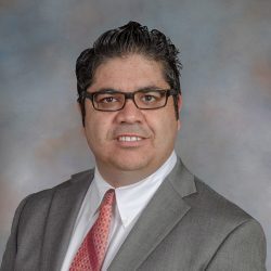
Dr. Bahram Salehi
CEO and Co-Founder
Dr. Bahram Salehi, is an Associate Professor of Remote Sensing Engineering, a Licensed Professional Engineer (PEng), and the founder of Salehi GeoLab, where he has led over $5M in externally funded research. He has successfully hired, mentored, and supervised more than 15 postdoctoral researchers and graduate students, building strong expertise in team leadership and technology translation. Dr. Salehi serves as National Director of the American Society of Photogrammetry & Remote Sensing (ASPRS) and its UAV Division and is the Co-founder and Co-Chair of the International Drone Conference (STRATUS). Dr. Salehi is among the world-renowned scholars in Remote Sensing of the Environment, with a significant scholarly impact recognized through numerous prestigious awards, including the Early Career Medal from the Canadian Remote Sensing Society (CRSS) and the ASPRS Outstanding Service Award. In 2022, he was ranked the third leading Remote Sensing scholar in the U.S for the prior 5-year period.
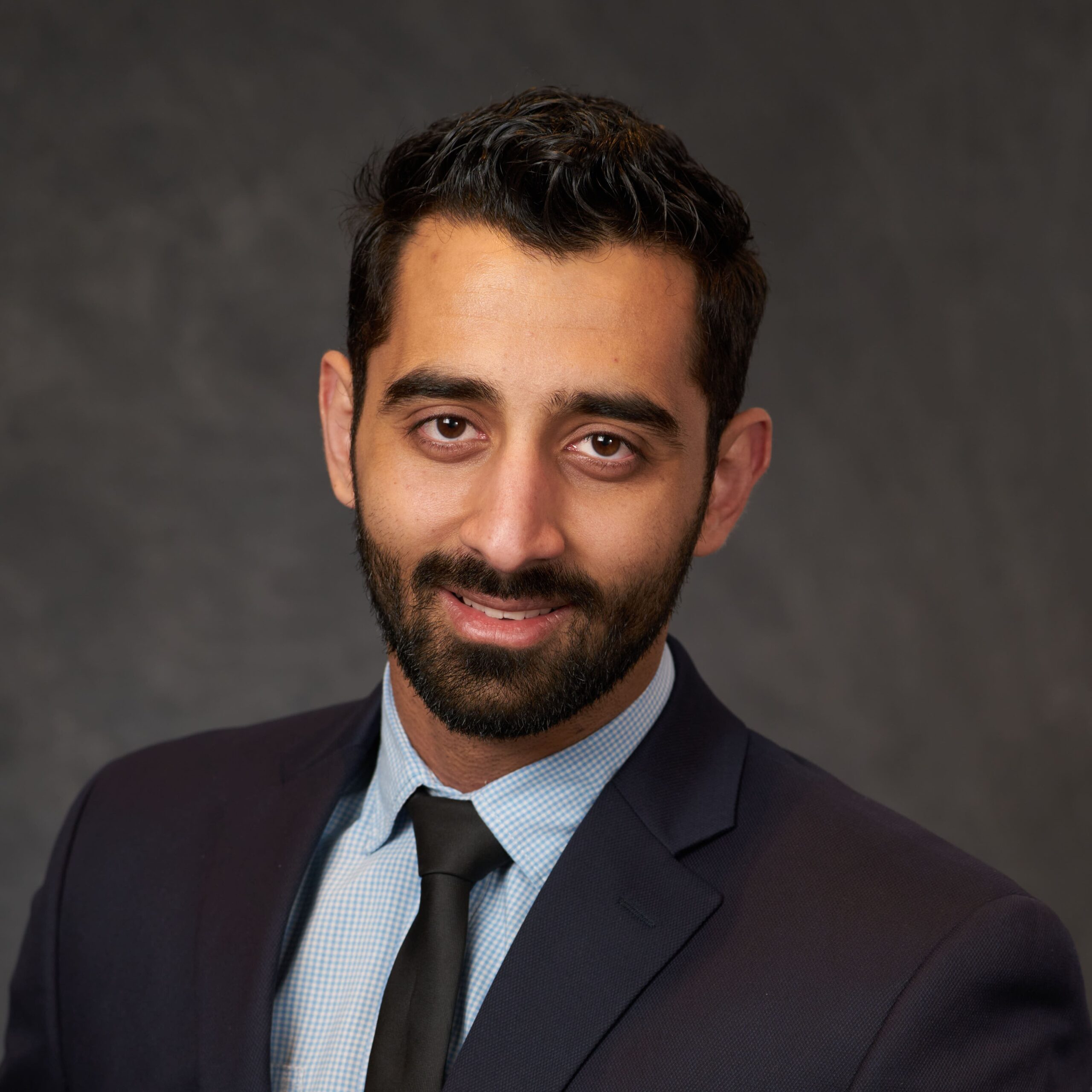
Sina Jarahizadeh
CTO and Co-Founder
Sina Jarahizadeh is a Ph.D. candidate in Remote Sensing Engineering and Photogrammetry at SUNY ESF. He has more than ten years of experience in AI and software development. His focus is on developing photogrammetry and remote sensing algorithms to tackle environmental issues. He has about ten years of hands-on experience flying drones as a licensed drone pilot. Sina’s Ph.D. research combines AI including machine learning and deep learning, computer vision, and geospatial analytics together with software development skills for forest 3D modeling.
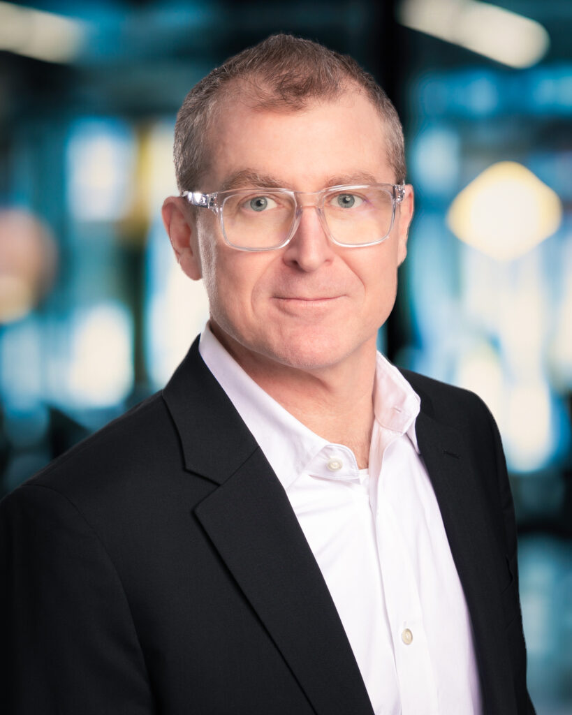
Ken Stewart
Advisor
Ken Stewart serves as President and CEO of NUAIR, responsible for setting the overall vision and strategy for the uncrewed aircraft systems (UAS) organization. Stewart is an experienced industry expert in wireless telecommunications and cloud-based software, with a specialization in building Enterprise SaaS, Federated digital marketplaces, and platforms. Prior to joining NUAIR, Stewart served as the CEO of AiRXOS, a GE aviation company, where he led the innovation, development, and commercialization of Unmanned Traffic Management services. After beginning his career in engineering and management positions at IBM and GTE, Stewart served as an executive with several venture capital and private equity-backed companies commercializing and scaling pre-revenue start-ups and transforming organizations for growth. Stewart also serves as the President of the Commercial Drone Alliance, a non-profit organization that works with federal policymakers and industry stakeholders to help create relevant rules to scale commercial UAS operations.
Our Story
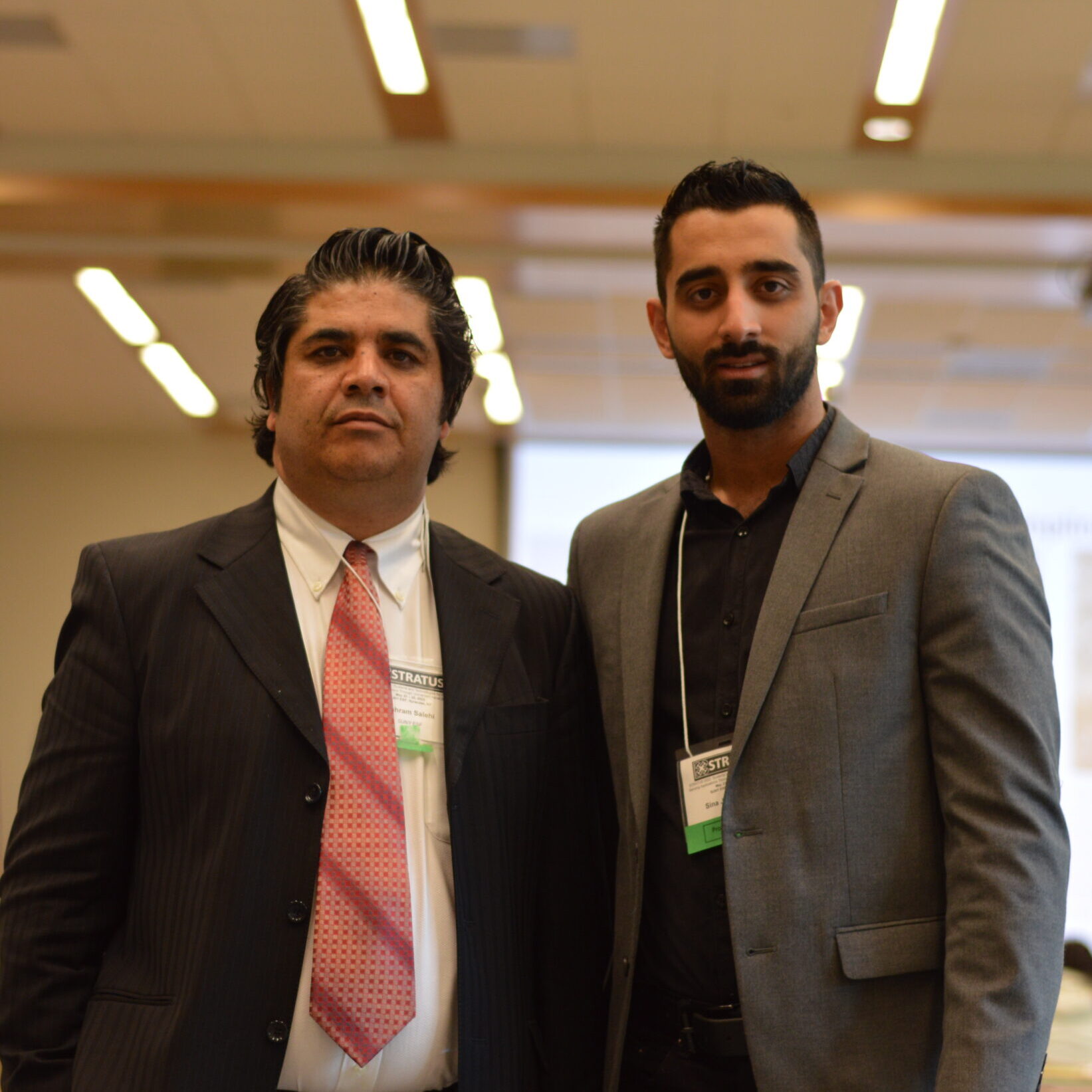
ZaminSense was founded by two passionate innovators, Bahram Salehi and Sina Jarahizadeh, who share an interest in geospatial remote sensing and photogrammetry for over three decades. With their expertise in these fields, they both envisioned the untapped potential of increased technologies to address some of the world’s most complex environmental challenges.
Driven by a vision to open up the possibilities of satellite, drone, and AI technologies, ZaminSense was formed to combine the finest of remote sensing tools with smart, actionable intelligence that can make a real impact in the physical world. The founders have invested years in advancing the science of geospatial intelligence, always with the goal of pushing the boundaries of what is possible.
From forest health monitoring to water quality monitoring, ZaminSense is committed to delivering solutions that allow private and public sectors to make more data-informed decisions. We are believers in technology’s ability to drive sustainability, foster conservation, and protect our planet’s most precious assets.
Join our team!
Feeling inspired? Join the team